
Alla topographic map
Click on the map to display elevation.
About this map
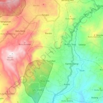
Name: Alla topographic map, elevation, terrain.
Location: Alla, Enrekang, South Sulawesi, Sulawesi, Indonesia (-3.36864 119.78308 -3.27349 119.85783)
Average elevation: 1,037 m
Minimum elevation: 504 m
Maximum elevation: 1,763 m
Other topographic maps
Click on a map to view its topography, its elevation and its terrain.