
Lanigan topographic map
Click on the map to display elevation.
About this map
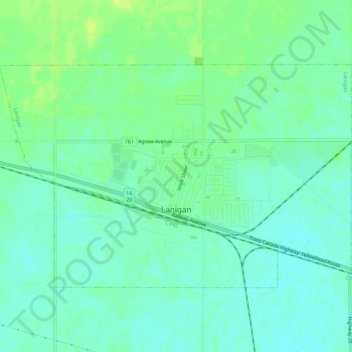
Name: Lanigan topographic map, elevation, terrain.
Location: Lanigan, Saskatchewan, S0K 2M0, Canada (51.83808 -105.06125 51.85999 -105.00531)
Average elevation: 536 m
Minimum elevation: 529 m
Maximum elevation: 545 m
Saskatchewan trails, hiking, mountain biking, running and outdoor activities
Other topographic maps
Click on a map to view its topography, its elevation and its terrain.
McClean Lake
Canada > Saskatchewan > Division No. 18 > Unorganized Division No. 18
Average elevation: 440 m
La Loche
Canada > Saskatchewan > Northern Saskatchewan Administration District > La Loche
Average elevation: 447 m
Pelican Narrows
Canada > Saskatchewan > Northern Saskatchewan Administration District > Pelican Narrows
Average elevation: 321 m