
Ryerson topographic map
Click on the map to display elevation.
About this map
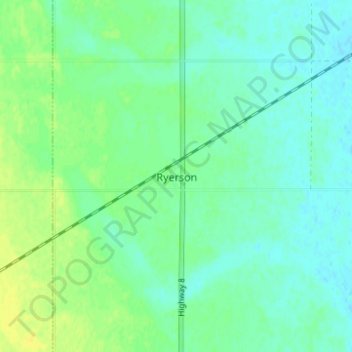
Name: Ryerson topographic map, elevation, terrain.
Location: Ryerson, Maryfield No. 91, Saskatchewan, Canada (49.76498 -101.68897 49.80498 -101.64897)
Average elevation: 591 m
Minimum elevation: 584 m
Maximum elevation: 602 m
Maryfield No. 91 trails, hiking, mountain biking, running and outdoor activities