Geolocate

Hoffer topographic map

Click on the map to display elevation.

About this map

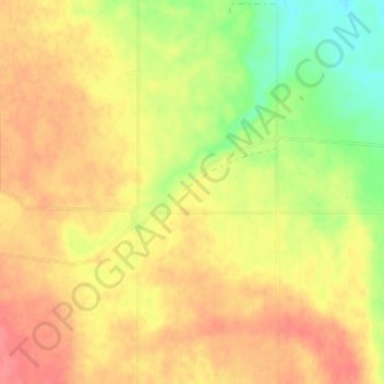
Name: Hoffer topographic map, elevation, terrain.

Location: Hoffer, Souris Valley No. 7, Saskatchewan, Canada (49.09817 -103.88758 49.13817 -103.84758)

Average elevation: 668 m

Minimum elevation: 631 m

Maximum elevation: 694 m

Souris Valley No. 7 trails, hiking, mountain biking, running and outdoor activities

Gear up for your next adventure:

🥾Light Hiking Boots - Lightweight and comfortable boots for day hikes
🛌Insulated Sleeping Pad - Critical thermal barrier between you and the cold ground
🧊Portable Cooler - Keep food and drinks cold during outdoor adventures
🧴Outdoor Sunscreen - High SPF protection for high-altitude UV exposure
🛶Canoe Life Vest - Safety vest for water sports

As an Amazon Associate, this site earns from qualifying purchases at no extra cost to you.