
McClean Lake topographic map
Click on the map to display elevation.
About this map
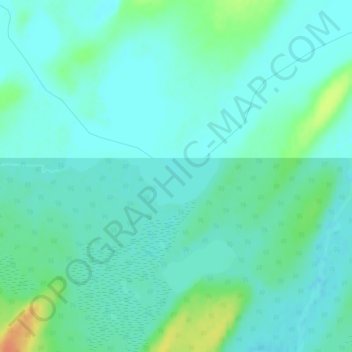
Name: McClean Lake topographic map, elevation, terrain.
Average elevation: 440 m
Minimum elevation: 430 m
Maximum elevation: 470 m
Division No. 18 trails, hiking, mountain biking, running and outdoor activities
Other topographic maps
Click on a map to view its topography, its elevation and its terrain.
Delaronde Lake
Canada > Saskatchewan > Division No. 18 > Unorganized Division No. 18
Average elevation: 518 m
Churchill River
Canada > Saskatchewan > Division No. 18 > Unorganized Division No. 18
Average elevation: 419 m
Read Lake
Canada > Saskatchewan > Division No. 18 > Unorganized Division No. 18
Average elevation: 382 m