Geolocate

Gull Lake topographic map

Click on the map to display elevation.

About this map

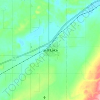
Name: Gull Lake topographic map, elevation, terrain.

Location: Gull Lake, Saskatchewan, S0N 1A0, Canada (50.05583 -108.52300 50.13583 -108.44300)

Average elevation: 801 m

Minimum elevation: 773 m

Maximum elevation: 895 m

Gull Lake trails, hiking, mountain biking, running and outdoor activities

Gear up for your next adventure:

💧Reusable Water Bottle - Durable water bottles for hydration on trails
🧰Emergency Multi-Tool - Compact multi-tool for outdoor survival
💡LED Camping Lantern - Illuminate your campsite with long-lasting lanterns
🧳Compression Sacks - Maximize space in your backpack by shrinking gear
🚲Handlebar Phone Mount - View topographic-map.com live while cycling

As an Amazon Associate, this site earns from qualifying purchases at no extra cost to you.