Geolocate
👉 Easily get elevation data in JSON, GeoTIFF and KML formats using Elevation API
Thank you for supporting this site ❤️
Make a donation

McLean topographic map

Click on the map to display elevation.

About this map

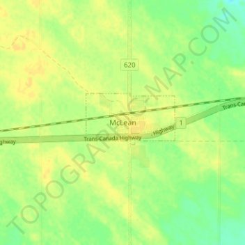
Name: McLean topographic map, elevation, terrain.

Location: McLean, South Qu'Appelle No. 157, Saskatchewan, S0G 3E0, Canada (50.49640 -104.08986 50.53640 -104.04986)

Average elevation: 696 m

Minimum elevation: 683 m

Maximum elevation: 703 m

South Qu'Appelle No. 157 trails, hiking, mountain biking, running and outdoor activities

Gear up for your next adventure:

Tent Footprint - Protect tent floor and increase durability
Backpacking Tent - Lightweight tent for long-distance hiking trips
🧥Waterproof Pants - Keep dry during rainy hiking conditions
🛶Waterproof Dry Bags - Keep electronics and clothes dry during river crossings
🧦Merino Wool Socks - Moisture-wicking comfort for long-distance hiking

As an Amazon Associate, this site earns from qualifying purchases at no extra cost to you.