Geolocate

Sarnia Beach topographic map

Click on the map to display elevation.

About this map

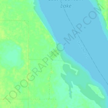
Name: Sarnia Beach topographic map, elevation, terrain.

Location: Sarnia Beach, Sarnia No. 221, Saskatchewan, Canada (50.97599 -105.24522 51.01599 -105.20522)

Average elevation: 491 m

Minimum elevation: 487 m

Maximum elevation: 498 m

Sarnia No. 221 trails, hiking, mountain biking, running and outdoor activities

Gear up for your next adventure:

🏃Hydration Running Vest - Carry water and maps close to your body for speed
🧭GPS Tracker - Track your location in remote areas safely
🧶550 Survival Paracord - Versatile utility cord for emergency repairs and rigging
🎒Backpack Rain Cover - External shield to keep your entire pack dry
👟Sport Hiking Sandals - Breathable footwear for water crossings and camp rest

As an Amazon Associate, this site earns from qualifying purchases at no extra cost to you.