Geolocate

Esterhazy topographic map

Click on the map to display elevation.

About this map

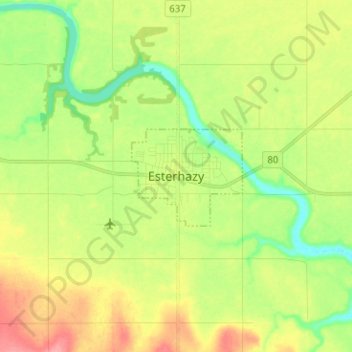
Name: Esterhazy topographic map, elevation, terrain.

Location: Esterhazy, Saskatchewan, S0A 0X0, Canada (50.61362 -102.11634 50.69362 -102.03634)

Average elevation: 518 m

Minimum elevation: 481 m

Maximum elevation: 564 m

Saskatchewan trails, hiking, mountain biking, running and outdoor activities

Gear up for your next adventure:

🧦Crew Hiking Socks - Comfortable socks for long-distance hikes
👟Trail Running Shoes - Agile footwear for fast-paced topographic exploration
🧰Survival Kit - Essential gear for emergencies in the wilderness
🧭GPS Outdoor Watch - Smart watch for navigation and fitness tracking in nature
🧊Insulated Water Bottle - Keeps drinks cold in summer and prevents freezing in winter

As an Amazon Associate, this site earns from qualifying purchases at no extra cost to you.