Geolocate

Cater topographic map

Click on the map to display elevation.

About this map

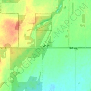
Name: Cater topographic map, elevation, terrain.

Location: Cater, Medstead No. 497, Saskatchewan, Canada (53.34667 -108.07000 53.38667 -108.03000)

Average elevation: 720 m

Minimum elevation: 702 m

Maximum elevation: 746 m

Saskatchewan trails, hiking, mountain biking, running and outdoor activities

Gear up for your next adventure:

💧Reusable Water Bottle - Durable water bottles for hydration on trails
🕶️Polarized Sunglasses - Protect your eyes with durable polarized lenses
🔦LED Flashlight - Powerful and long-lasting flashlight for camping and emergencies
💧Collapsible Water Bottle - Space-saving water bottle for outdoor activities
🦟Insect Repellent - Keep mosquitoes and black flies away in wooded areas

As an Amazon Associate, this site earns from qualifying purchases at no extra cost to you.