Geolocate

Shell Lake topographic map

Click on the map to display elevation.

About this map

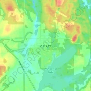
Name: Shell Lake topographic map, elevation, terrain.

Location: Shell Lake, Spiritwood No. 496, Saskatchewan, Canada (53.28540 -107.07881 53.32540 -107.03881)

Average elevation: 568 m

Minimum elevation: 550 m

Maximum elevation: 594 m

Spiritwood No. 496 trails, hiking, mountain biking, running and outdoor activities

Gear up for your next adventure:

🥾Waterproof Trail Shoes - Shoes designed to handle wet terrain
🔥Camping Stove - Portable stoves to cook outdoors with ease
💧Reusable Water Bottle - Durable water bottles for hydration on trails
🧣Evaporative Cooling Towel - Beat the heat during intense summer climbs
👟Sport Hiking Sandals - Breathable footwear for water crossings and camp rest

As an Amazon Associate, this site earns from qualifying purchases at no extra cost to you.