Geolocate

Phelps County topographic map

Click on the map to display elevation.

About this map

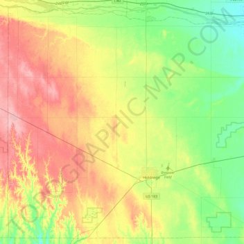
Name: Phelps County topographic map, elevation, terrain.

Location: Phelps County, Nebraska, United States (40.34932 -99.64537 40.68489 -99.17934)

Average elevation: 711 m

Minimum elevation: 665 m

Maximum elevation: 772 m

Gear up for your next adventure:

🔥Camping Stove - Portable stoves to cook outdoors with ease
🧥Waterproof Hiking Jacket - Protect yourself from rain and wind while hiking
🦌Outdoor Trail Camera - Monitor wildlife activity near your favorite spots
🧥Waterproof Pants - Keep dry during rainy hiking conditions
🥾Hiking Boots - Sturdy boots providing ankle support and traction on rugged trails

As an Amazon Associate, this site earns from qualifying purchases at no extra cost to you.