Geolocate

Bostwick topographic map

Click on the map to display elevation.

About this map

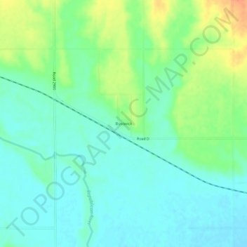
Name: Bostwick topographic map, elevation, terrain.

Location: Bostwick, Nuckolls County, Nebraska, United States (40.02835 -98.20421 40.06835 -98.16421)

Average elevation: 496 m

Minimum elevation: 481 m

Maximum elevation: 528 m

Gear up for your next adventure:

🎒Fully Waterproof Backpack - Total protection for photography gear and electronics
💧Collapsible Water Bottle - Space-saving water bottle for outdoor activities
Backpacking Tent - Lightweight tent for long-distance hiking trips
🥾Durable Hiking Shoes - Long-lasting shoes for frequent hiking
💧Hydration Pack - Hands-free hydration system for long hikes

As an Amazon Associate, this site earns from qualifying purchases at no extra cost to you.