Geolocate

Whitman topographic map

Click on the map to display elevation.

About this map

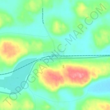
Name: Whitman topographic map, elevation, terrain.

Location: Whitman, Grant County, Nebraska, 69366, United States (42.02151 -101.54325 42.06151 -101.50325)

Average elevation: 1,115 m

Minimum elevation: 1,084 m

Maximum elevation: 1,178 m

Gear up for your next adventure:

🛶Kayak Accessories - Essential gear for safe and fun kayaking adventures
🧭Orienteering Kit - Tools for map reading and navigation in the wild
Backpacking Tent - Lightweight tent for long-distance hiking trips
🧥Waterproof Hiking Jacket - Protect yourself from rain and wind while hiking
🚲MTB Frame Bag - Carry tools and maps directly on your bicycle frame

As an Amazon Associate, this site earns from qualifying purchases at no extra cost to you.