Geolocate

Assumption topographic map

Click on the map to display elevation.

About this map

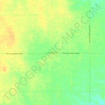
Name: Assumption topographic map, elevation, terrain.

Location: Assumption, Adams County, Nebraska, United States (40.49001 -98.59229 40.53001 -98.55229)

Average elevation: 605 m

Minimum elevation: 589 m

Maximum elevation: 614 m

Gear up for your next adventure:

💧Reusable Water Bottle - Durable water bottles for hydration on trails
🥾Hiking Shorts - Breathable shorts suitable for summer hikes
🎒Hiking Backpack - Lightweight and ergonomic backpacks for day hikes or multi-day treks
🧢Hiking Sun Hat - Wide-brimmed protection for exposed mountain ridges
🥾Waterproof Hiking Shoes - Durable shoes for wet and rugged trails

As an Amazon Associate, this site earns from qualifying purchases at no extra cost to you.