Geolocate

Sheldonville topographic map

Click on the map to display elevation.

About this map

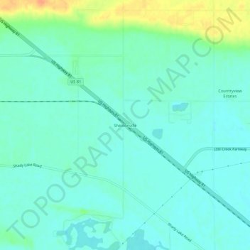
Name: Sheldonville topographic map, elevation, terrain.

Location: Sheldonville, Platte County, Nebraska, United States (41.44390 -97.44588 41.48390 -97.40588)

Average elevation: 451 m

Minimum elevation: 441 m

Maximum elevation: 481 m

Gear up for your next adventure:

🥾All-Terrain Hiking Boots - Versatile boots for varied hiking conditions
🧢Outdoor Visor - Breathable visor for sunny hikes
Family Camping Tent - Spacious tent suitable for family camping trips
🧥Fleece Jacket - Warm and lightweight jacket for layering
💡Compact LED Flashlight - Powerful and portable flashlight for outdoor use

As an Amazon Associate, this site earns from qualifying purchases at no extra cost to you.