
Johnson Lake topographic map
Click on the map to display elevation.
About this map
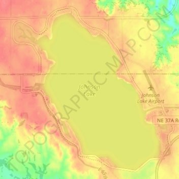
Name: Johnson Lake topographic map, elevation, terrain.
Location: Johnson Lake, Gosper County, Nebraska, United States (40.67511 -99.87996 40.71698 -99.81894)
Average elevation: 798 m
Minimum elevation: 760 m
Maximum elevation: 816 m
Other topographic maps
Click on a map to view its topography, its elevation and its terrain.