Simeulue topographic map
Click on the map to display elevation.
Simeulue
Much of the north-western half of the island has been recognised as an Important Bird Area (IBA) by BirdLife International. It contains forested hills up to an elevation of 576 m, as well as two freshwater lakes. The Simeulue scops-owl is endemic.
About this map
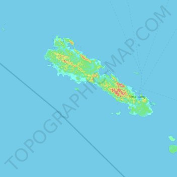
Name: Simeulue topographic map, elevation, terrain.
Location: Simeulue, Aceh, Sumatra, 23891, Indonesia (2.05778 95.38492 3.01790 96.68869)
Average elevation: 6 m
Minimum elevation: -2 m
Maximum elevation: 561 m
Other topographic maps
Click on a map to view its topography, its elevation and its terrain.