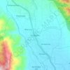
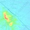
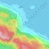
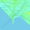
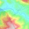
Aceh Tenggara topographic map
Click on the map to display elevation.
About this map

Name: Aceh Tenggara topographic map, elevation, terrain.
Location: Aceh Tenggara, Aceh, 24651, Indonesia (2.92732 97.20680 3.75057 98.02925)
Average elevation: 942 m
Minimum elevation: 0 m
Maximum elevation: 3,352 m
Other topographic maps
Click on a map to view its topography, its elevation and its terrain.