
Batuan topographic map
Click on the map to display elevation.
About this map
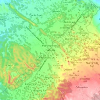
Name: Batuan topographic map, elevation, terrain.
Location: Batuan, Bohol, Central Visayas, 6318, Philippines (9.74408 124.10914 9.82408 124.18914)
Average elevation: 316 m
Minimum elevation: 217 m
Maximum elevation: 467 m
Other topographic maps
Click on a map to view its topography, its elevation and its terrain.