Geolocate

Aguipo topographic map

Click on the map to display elevation.

About this map

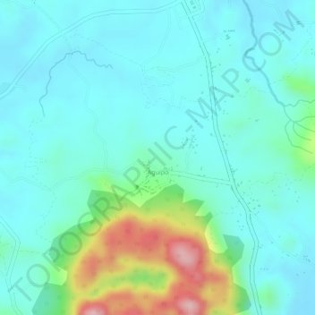
Name: Aguipo topographic map, elevation, terrain.

Location: Aguipo, Mabini, Bohol, Central Visayas, Philippines (9.88066 124.50930 9.90354 124.53885)

Average elevation: 57 m

Minimum elevation: 9 m

Maximum elevation: 216 m

Other topographic maps

Click on a map to view its topography, its elevation and its terrain.

Mahayag

Philippines > Bohol > Mabini > San Roque > Mahayag

Average elevation: 41 m

Gear up for your next adventure:

🧴Outdoor Sunscreen - High SPF protection for high-altitude UV exposure
🦌Outdoor Trail Camera - Monitor wildlife activity near your favorite spots
🥾Approach Boots - Comfortable boots for hiking and climbing approaches
🔨Vehicle Emergency Tool - Safety tool for remote road trips to trailheads
🎒Hiking Daypack - Lightweight and durable backpacks for day trips and excursions

As an Amazon Associate, this site earns from qualifying purchases at no extra cost to you.