Geolocate

Anoling topographic map

Click on the map to display elevation.

About this map

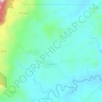
Name: Anoling topographic map, elevation, terrain.

Location: Anoling, Candijay, Bohol, Central Visayas, Philippines (9.84222 124.43567 9.86684 124.45862)

Average elevation: 79 m

Minimum elevation: 12 m

Maximum elevation: 305 m

Other topographic maps

Click on a map to view its topography, its elevation and its terrain.

Kangkoka Panoramic View

Philippines > Bohol > Candijay > Cambane

Average elevation: 168 m

Gear up for your next adventure:

🧤Rechargeable Heated Gloves - Extreme warmth for Canadian winter expeditions
🔋Solar Power Bank - Keep your GPS and devices charged during long outdoor trips
🧥Softshell Hiking Jacket - The perfect balance of wind protection and breathability
🧥Fleece Jacket - Warm and lightweight jacket for layering
🧦Outdoor Socks - Durable socks designed for hiking and outdoor sports

As an Amazon Associate, this site earns from qualifying purchases at no extra cost to you.