
Dorol topographic map
Click on the map to display elevation.
About this map
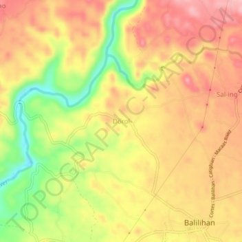
Name: Dorol topographic map, elevation, terrain.
Location: Dorol, Bohol, Central Visayas, Philippines (9.75327 123.93968 9.79327 123.97968)
Average elevation: 90 m
Minimum elevation: 1 m
Maximum elevation: 150 m
Other topographic maps
Click on a map to view its topography, its elevation and its terrain.