
Sikatuna topographic map
Click on the map to display elevation.
About this map
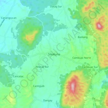
Name: Sikatuna topographic map, elevation, terrain.
Location: Sikatuna, Bohol, Central Visayas, 6337, Philippines (9.64789 123.93404 9.72789 124.01404)
Average elevation: 121 m
Minimum elevation: 43 m
Maximum elevation: 355 m
Other topographic maps
Click on a map to view its topography, its elevation and its terrain.