
Mount Matunog topographic map
Click on the map to display elevation.
About this map
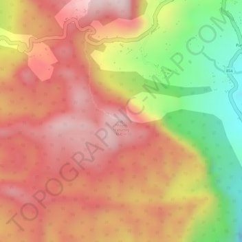
Name: Mount Matunog topographic map, elevation, terrain.
Location: Mount Matunog, Bohol, Central Visayas, Philippines (9.72887 124.33719 9.72897 124.33729)
Average elevation: 696 m
Minimum elevation: 435 m
Maximum elevation: 849 m
Other topographic maps
Click on a map to view its topography, its elevation and its terrain.