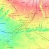
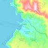
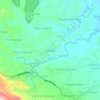
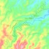
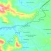
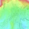
Simalungun topographic map
Click on the map to display elevation.
About this map

Name: Simalungun topographic map, elevation, terrain.
Location: Simalungun, North Sumatra, Sumatra, Indonesia (2.60147 98.53263 3.29975 99.56588)
Average elevation: 791 m
Minimum elevation: 0 m
Maximum elevation: 2,417 m
Other topographic maps
Click on a map to view its topography, its elevation and its terrain.


Sampean
Indonesia > North Sumatra > Kabupaten Humbang Hasundutan > Dolok Sanggul
Average elevation: 1,260 m