Geolocate

Beringin topographic map

Click on the map to display elevation.

About this map

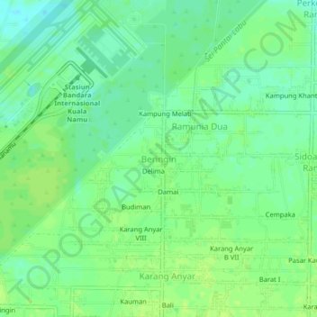
Name: Beringin topographic map, elevation, terrain.

Location: Beringin, Deli Serdang, North Sumatra, Sumatra, Indonesia (3.60419 98.86835 3.64419 98.90835)

Average elevation: 8 m

Minimum elevation: 0 m

Maximum elevation: 12 m

Other topographic maps

Click on a map to view its topography, its elevation and its terrain.

Gear up for your next adventure:

🧦Hiking Socks - Moisture-wicking and comfortable socks for long hikes
👟Sport Hiking Sandals - Breathable footwear for water crossings and camp rest
🎒Backpack Rain Cover - External shield to keep your entire pack dry
🔨Vehicle Emergency Tool - Safety tool for remote road trips to trailheads
🛌Down Sleeping Bag - Superior warmth-to-weight ratio for cold nights

As an Amazon Associate, this site earns from qualifying purchases at no extra cost to you.