Geolocate

Barambang topographic map

Click on the map to display elevation.

About this map

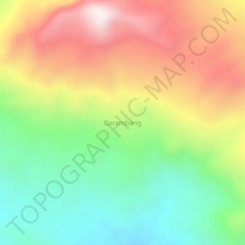
Name: Barambang topographic map, elevation, terrain.

Location: Barambang, Central Tapanuli, North Sumatra, Sumatra, Indonesia (1.99741 98.47189 2.03741 98.51189)

Average elevation: 462 m

Minimum elevation: 20 m

Maximum elevation: 1,018 m

Gear up for your next adventure:

🧥Softshell Jacket - Windproof and breathable jacket for hiking
🚲Heavy Duty Bike Lock - Secure your bike at the trailhead or during stops
💧Collapsible Water Bottle - Space-saving water bottle for outdoor activities
🥾Trail Hiking Boots - Supportive boots for rough trails
🎒Fully Waterproof Backpack - Total protection for photography gear and electronics

As an Amazon Associate, this site earns from qualifying purchases at no extra cost to you.