Geolocate

Rantobi topographic map

Click on the map to display elevation.

About this map

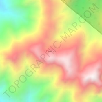
Name: Rantobi topographic map, elevation, terrain.

Location: Rantobi, Mandailing Natal, North Sumatra, Sumatra, Indonesia (0.74636 99.23848 0.78636 99.27848)

Average elevation: 1,274 m

Minimum elevation: 595 m

Maximum elevation: 1,845 m

Other topographic maps

Click on a map to view its topography, its elevation and its terrain.

Panyabungan

Indonesia > North Sumatra > Mandailing Natal

Average elevation: 231 m

Gear up for your next adventure:

Camping Groundsheet - Protect your tent from moisture and dirt
🕯️Camping Lantern - Illuminates your entire campsite with high-efficiency LEDs
💧Reusable Water Bottle - Durable water bottles for hydration on trails
🩹Moleskin Blister Pads - Direct protection for painful foot pressure points
🥾Mountain Hiking Shoes - Shoes with superior grip for mountainous terrain

As an Amazon Associate, this site earns from qualifying purchases at no extra cost to you.