

Selangor topographic maps
Click on a map to view its topography, its elevation and its terrain.

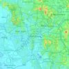
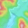


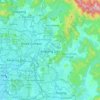


Sungai Salak
Malaysia > Selangor > Selayang Municipal Council > Kampung Desa Makmur
Average elevation: 197 m


Kampung Orang Asli Sungai Buloh
Malaysia > Selangor > Selayang Municipal Council > Kuang
Average elevation: 139 m


Batang Kali Permanent Forest Reserve
Malaysia > Selangor > Kampung Ulu Rening
Average elevation: 627 m


Lagong Hill Permanent Forest Reserve
Malaysia > Selangor > Selayang Municipal Council
Average elevation: 176 m


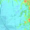









Selayang
Malaysia > Selangor > Selayang
Given its varied topography pattern and close proximity to the Titiwangsa Mountains (Banjaran Titiwangsa), Selayang is a mix of urban and countryside sceneries. Its premier natural attraction, which is well-known across the country, is the Forest Research Institute Malaysia (FRIM), also known as FRIM Kepong.…
Average elevation: 201 m


Ayer Hitam Permanent Forest Reserve
Malaysia > Selangor > Subang Jaya City Council > Puchong
Average elevation: 75 m


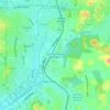


Kota Damansara Community Forest Reserve
Malaysia > Selangor > Petaling Jaya > Prima Damansara
Average elevation: 85 m

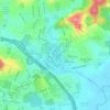

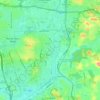


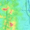


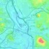


Hulu Kelang
Malaysia > Selangor > Ampang Jaya Municipal Council
It has an area of 16.94 square kilometres, and is located northeast of Kuala Lumpur. The surface is relatively high; 500 metres above sea level, and the topography here is highland, lowland, or undulating land. As a result, it is a rain catchment area for the Klang River. Among the high locations are Bukit…
Average elevation: 147 m

