
Mount Wittenoom topographic map
Interactive map
Click on the map to display elevation.
About this map
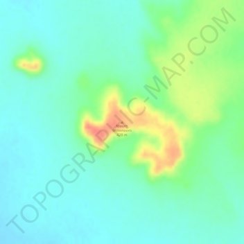
Name: Mount Wittenoom topographic map, elevation, terrain.
Location: Mount Wittenoom, Western Australia, Australia (-18.57444 128.85815 -18.57434 128.85825)
Average elevation: 400 m
Minimum elevation: 383 m
Maximum elevation: 436 m
Other topographic maps
Click on a map to view its topography, its elevation and its terrain.