
Jalbarragup topographic map
Click on the map to display elevation.
About this map
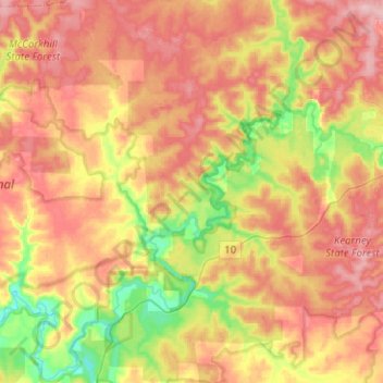
Name: Jalbarragup topographic map, elevation, terrain.
Location: Jalbarragup, Shire Of Nannup, Western Australia, Australia (-34.12240 115.50734 -33.91306 115.73622)
Average elevation: 109 m
Minimum elevation: 29 m
Maximum elevation: 176 m
Other topographic maps
Click on a map to view its topography, its elevation and its terrain.