
City Of Armadale topographic map
Interactive map
Click on the map to display elevation.
About this map
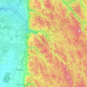
Name: City Of Armadale topographic map, elevation, terrain.
Location: City Of Armadale, Western Australia, Australia (-32.28759 115.89699 -32.07027 116.35763)
Average elevation: 200 m
Minimum elevation: 0 m
Maximum elevation: 533 m
Other topographic maps
Click on a map to view its topography, its elevation and its terrain.