
Glen Ross topographic map
Interactive map
Click on the map to display elevation.
About this map
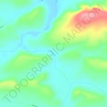
Name: Glen Ross topographic map, elevation, terrain.
Location: Glen Ross, Western Australia, Australia (-24.18936 118.03118 -24.16936 118.05118)
Average elevation: 401 m
Minimum elevation: 363 m
Maximum elevation: 482 m
Other topographic maps
Click on a map to view its topography, its elevation and its terrain.