
Carrabin topographic map
Interactive map
Click on the map to display elevation.
About this map
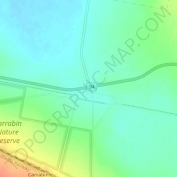
Name: Carrabin topographic map, elevation, terrain.
Location: Carrabin, Shire Of Westonia, Western Australia, Australia (-31.38864 118.66773 -31.36864 118.68773)
Average elevation: 348 m
Minimum elevation: 335 m
Maximum elevation: 379 m
Other topographic maps
Click on a map to view its topography, its elevation and its terrain.