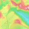
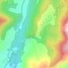
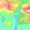
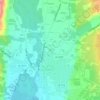
Candeleda topographic map
Click on the map to display elevation.
Candeleda
Candeleda municipality is located in the south west of the Gredos mountains, Ávila province, bordering the provinces of Cáceres (Extremadura) and Toledo (Castile-La Mancha). It is located 101 km from the province's capital. The closest cities are Talavera de la Reina (Toledo), 61 km away, and Plasencia (Cáceres), 120 km away. The altitude of the municipality ranges from the 252 m of the Rosarito reservoir and the 2592 m of the Almanzor peak, the highest point of the Central System mountains range.
About this map

Name: Candeleda topographic map, elevation, terrain.
Location: Candeleda, Ávila, Castile and León, Spain (40.08245 -5.36996 40.26408 -5.17957)
Average elevation: 847 m
Minimum elevation: 281 m
Maximum elevation: 2,538 m
Other topographic maps
Click on a map to view its topography, its elevation and its terrain.


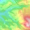
Valtuille de Abajo
Spain > Castile and León > El Bierzo > Villafranca del Bierzo
Average elevation: 525 m


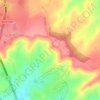
Ávila
Ávila is the capital and most populated municipality of the Province of Ávila, located in the autonomous community of Castile and León in Spain. Located in the centre of the Iberian Peninsula, to the north of the Sistema Central, it lies on the right bank of the Adaja and, at an elevation of over 1,130…
Average elevation: 1,167 m




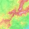
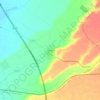
Sierra de Guadarrama
The range runs southwest–northeast, extending from the province of Ávila in the southwest, through the Community of Madrid, to the province of Segovia in the northeast. The range measures approximately 80 kilometres (50 mi) in length. Its highest peak is Peñalara, 2,428 metres (7,966 ft) in elevation.
Average elevation: 1,153 m
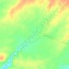
Yacimiento arqueológico La Edrada
Spain > Castile and León > El Bierzo > Cacabelos
Average elevation: 493 m