Geolocate

Somaén topographic map

Click on the map to display elevation.

About this map

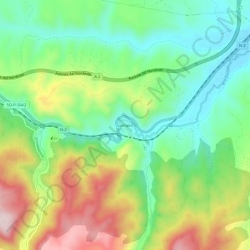
Name: Somaén topographic map, elevation, terrain.

Location: Somaén, Arcos de Jalón, Soria, Castile and León, 42250, Spain (41.17353 -2.33531 41.21353 -2.29531)

Average elevation: 958 m

Minimum elevation: 824 m

Maximum elevation: 1,175 m

Gear up for your next adventure:

🕯️Camping Lantern - Illuminates your entire campsite with high-efficiency LEDs
🧢Sun Hat - Wide-brim hat for sun protection
🥾Trail Hiking Socks - Comfortable socks to prevent blisters and fatigue
🦶Hiking Shoe Insoles - Added support for high arches and long days on feet
🧴Waterproofing Spray - Restore the DWR coating on jackets and tents

As an Amazon Associate, this site earns from qualifying purchases at no extra cost to you.