Geolocate

Penouta topographic map

Click on the map to display elevation.

About this map
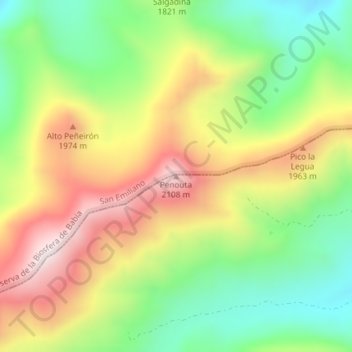
Name: Penouta topographic map, elevation, terrain.

Location: Penouta, Sena de Luna, León, Castile and León, Spain (42.90634 -6.06143 42.90644 -6.06133)

Average elevation: 1,791 m

Minimum elevation: 1,520 m

Maximum elevation: 2,119 m

Gear up for your next adventure:

🧢Outdoor Cap - Protective cap for sun and rain during hikes
🔦LED Headlamp - Hands-free lighting for early morning starts or late finishes
🔭Compact Monocular - One-handed bird watching and trail spotting
🚑Survival Whistle - Signal for help across long distances in mountains
🦟Insect Repellent - Keep mosquitoes and black flies away in wooded areas

As an Amazon Associate, this site earns from qualifying purchases at no extra cost to you.