
Boxholms kommun topographic map
Click on the map to display elevation.
About this map
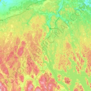
Name: Boxholms kommun topographic map, elevation, terrain.
Location: Boxholms kommun, Östergötland County, Sweden (57.95381 14.86429 58.30753 15.38235)
Average elevation: 169 m
Minimum elevation: 94 m
Maximum elevation: 296 m
Other topographic maps
Click on a map to view its topography, its elevation and its terrain.