

Sweden topographic maps
Click on a map to view its topography, its elevation and its terrain.
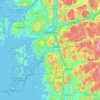


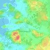

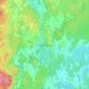
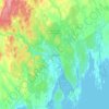


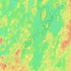
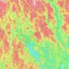



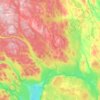
Kiruna
Kiruna is located in the north of Sweden, 145 kilometres (90 mi) north of the Arctic circle. The city centre is built on the Haukavaara hill at an altitude of 530 m, high above the Torne river to the north and the Kalix river to the south. Other parts of the town are Lombolo and Tuolluvaara. Near Kiruna are…
Average elevation: 511 m





























Jokkmokk
Influenced by its inland and northerly position, Jokkmokk's variety of a subarctic climate (Dfc) is very cold by Swedish standards. Summers are normally relatively mild, with midnight sun, and the dark winters are long and cold, although polar night is not quite observed with a sun angle of 0.4° at the winter…
Average elevation: 293 m





About this place
Västra Götaland County • Stockholm County • Skåne County • Norrbotten County • Dalarna County • Västerbotten County • Jämtland County • Västernorrland County • Gävleborg County • Halland County • Jönköping County • Kalmar County • Östergötland County • Värmland County • Kronoberg County • Uppsala County • Örebro County • Västmanland County • Södermanland County • Blekinge County • Gotland County • Dalecarlia • Stockholm County • Landvetter • Havstenssund • Skaulo • Västersjön • Nässjö • Nacka • Rörvik • Kronoberg County • Skåne County • Västra Götaland County