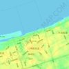
Qingxiu topographic map
Click on the map to display elevation.
About this map
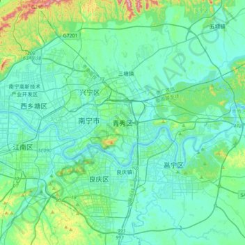
Name: Qingxiu topographic map, elevation, terrain.
Location: Qingxiu, Nanning, Guangxi, 530028, China (22.65608 108.25045 22.97608 108.57045)
Average elevation: 113 m
Minimum elevation: 57 m
Maximum elevation: 431 m
Other topographic maps
Click on a map to view its topography, its elevation and its terrain.

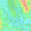
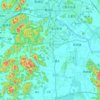
Nanning
Nanning is located in the southern part of the Guangxi Zhuang Autonomous Region, 160 km (99 mi) from the border with Vietnam. It has an administrative area of 22,293 km2 (8,607 sq mi). Nanning is situated in a hilly basin with elevations between 70 and 500 m (230 and 1,640 ft) above sea-level. Qingxiu Mountain…
Average elevation: 229 m

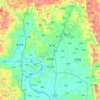
Guilin
Guilin (Chinese: 桂林 Standard Zhuang: Gveilinz), formerly romanized as Kweilin, is a prefecture-level city in the northeast of China's Guangxi Zhuang Autonomous Region. It is situated on the west bank of the Li River and borders Hunan to the north. Its name means "forest of sweet osmanthus", owing to the…
Average elevation: 472 m

Guilin
Guilin (Standard Zhuang: Gveilinz), formerly romanized as Kweilin, is a prefecture-level city in the northeast of China's Guangxi Zhuang Autonomous Region. It is situated on the west bank of the Li River and borders Hunan to the north. Its name means "forest of sweet osmanthus", owing to the large number of…
Average elevation: 472 m







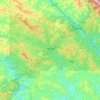
Huixian Karst National Wetland Park, Guilin, Guangxi
Average elevation: 156 m
Guilin
Guilin (Standard Zhuang: Gveilinz; alternatively romanized as Kweilin) is a prefecture-level city in the northeast of China's Guangxi Zhuang Autonomous Region. It is situated on the west bank of the Li River and borders Hunan to the north. Its name means "forest of sweet osmanthus", owing to the large number…
Average elevation: 477 m
Guilin
Guilin (Standard Zhuang: Gveilinz; alternatively romanized as Kweilin) is a prefecture-level city in the northeast of China's Guangxi Zhuang Autonomous Region. It is situated on the west bank of the Li River and borders Hunan to the north. Its name means "forest of sweet osmanthus", owing to the large number…
Average elevation: 477 m


Guilin
Guilin (Standard Zhuang: Gveilinz), formerly romanized as Kweilin, is a prefecture-level city in the northeast of China's Guangxi Zhuang Autonomous Region. It is situated on the west bank of the Li River and borders Hunan to the north. Its name means "forest of sweet osmanthus", owing to the large number of…
Average elevation: 472 m

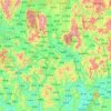

Baise
Baise has a monsoon-influenced, humid subtropical climate (Köppen Cwa), with short, mild, and dry winters, and long, very hot and humid summers. The monthly 24-hour average temperature ranges from 13.5 °C (56.3 °F) in January to 28.4 °C (83.1 °F) in July, for an annual mean of 22.12 °C (71.8 °F).…
Average elevation: 688 m