
Préfecture d'Ibaraki topographic map
Interactive map
Click on the map to display elevation.
About this map
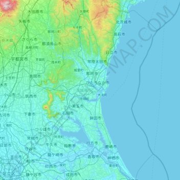
Name: Préfecture d'Ibaraki topographic map, elevation, terrain.
Location: Préfecture d'Ibaraki, Japon (35.73914 139.68769 36.94530 141.03080)
Average elevation: 82 m
Minimum elevation: -3 m
Maximum elevation: 1,705 m
Other topographic maps
Click on a map to view its topography, its elevation and its terrain.