
栄二丁目 topographic map
Interactive map
Click on the map to display elevation.
About this map
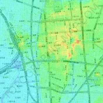
Name: 栄二丁目 topographic map, elevation, terrain.
Location: 栄二丁目, 中区, Nagoya, Préfecture d'Aichi, 4600008, Japon (35.14598 136.87947 35.18598 136.91947)
Average elevation: 13 m
Minimum elevation: -7 m
Maximum elevation: 38 m