
Setouchi topographic map
Interactive map
Click on the map to display elevation.
About this map
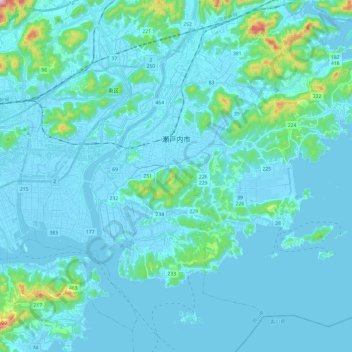
Name: Setouchi topographic map, elevation, terrain.
Location: Setouchi, Préfecture d'Okayama, Japon (34.55876 134.05193 34.72818 134.29282)
Average elevation: 33 m
Minimum elevation: -5 m
Maximum elevation: 393 m
Other topographic maps
Click on a map to view its topography, its elevation and its terrain.