
天台6 topographic map
Interactive map
Click on the map to display elevation.
About this map
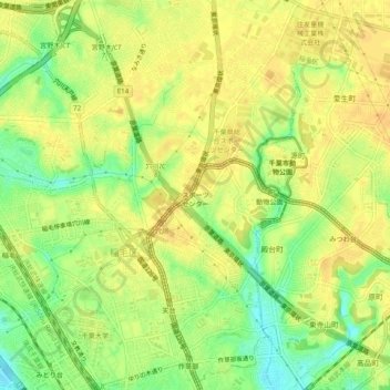
Name: 天台6 topographic map, elevation, terrain.
Location: 天台6, 稲毛区, Chiba, Préfecture de Chiba, 263-0051, Japon (35.62221 140.09609 35.66221 140.13609)
Average elevation: 23 m
Minimum elevation: 4 m
Maximum elevation: 33 m