
児玉郡 topographic map
Interactive map
Click on the map to display elevation.
About this map
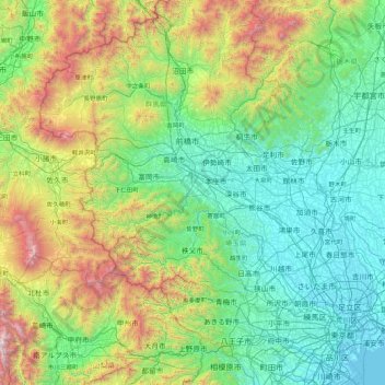
Name: 児玉郡 topographic map, elevation, terrain.
Location: 児玉郡, Préfecture de Saitama, Japon (35.49546 138.38796 36.89546 139.78796)
Average elevation: 638 m
Minimum elevation: -3 m
Maximum elevation: 3,167 m
Other topographic maps
Click on a map to view its topography, its elevation and its terrain.