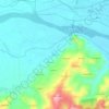
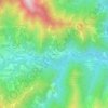
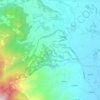
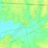
Strambino topographic map
Click on the map to display elevation.
About this map

Name: Strambino topographic map, elevation, terrain.
Location: Strambino, Turin, Piedmont, 10019, Italy (45.34356 7.87401 45.42433 7.93718)
Average elevation: 247 m
Minimum elevation: 212 m
Maximum elevation: 451 m
Other topographic maps
Click on a map to view its topography, its elevation and its terrain.




Parco Generale Carlo Alberto Dalla Chiesa
Italy > Piedmont > Turin > Collegno
Average elevation: 297 m