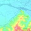
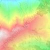
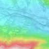
Pont Canavese topographic map
Click on the map to display elevation.
About this map

Name: Pont Canavese topographic map, elevation, terrain.
Location: Pont Canavese, Turin, Piedmont, 10085, Italy (45.40902 7.54151 45.46439 7.63137)
Average elevation: 1,012 m
Minimum elevation: 405 m
Maximum elevation: 2,337 m
Other topographic maps
Click on a map to view its topography, its elevation and its terrain.





Parco Generale Carlo Alberto Dalla Chiesa
Italy > Piedmont > Turin > Collegno
Average elevation: 297 m