
Waynesfield topographic map
Click on the map to display elevation.
About this map
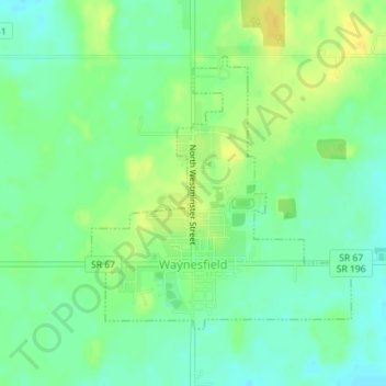
Name: Waynesfield topographic map, elevation, terrain.
Location: Waynesfield, Auglaize County, Ohio, United States (40.59604 -83.98481 40.61515 -83.96081)
Average elevation: 324 m
Minimum elevation: 313 m
Maximum elevation: 336 m
Other topographic maps
Click on a map to view its topography, its elevation and its terrain.