Geolocate

Geyer topographic map

Click on the map to display elevation.

About this map

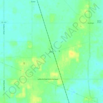
Name: Geyer topographic map, elevation, terrain.

Location: Geyer, Auglaize County, Ohio, United States (40.48838 -84.08383 40.52838 -84.04383)

Average elevation: 313 m

Minimum elevation: 304 m

Maximum elevation: 325 m

Other topographic maps

Click on a map to view its topography, its elevation and its terrain.

Uniopolis

United States > Ohio > Auglaize County

Average elevation: 286 m

Buckland

United States > Ohio > Auglaize County

Average elevation: 259 m

Minster

United States > Ohio > Auglaize County

Average elevation: 295 m

New Knoxville

United States > Ohio > Auglaize County

Average elevation: 276 m

Waynesfield

United States > Ohio > Auglaize County

Average elevation: 324 m

Saint Marys

United States > Ohio > Auglaize County

Average elevation: 267 m

Cridersville

United States > Ohio > Auglaize County

Average elevation: 272 m

Gear up for your next adventure:

👖Convertible Hiking Pants - Zip-off legs to adapt to changing weather conditions
🧭GPS Tracker - Track your location in remote areas safely
🔥Emergency Fire Starter - Reliable ignition source for all weather conditions
🐕Hiking Dog Pack - Let your canine companion carry their own water and food
🥾Durable Hiking Shoes - Long-lasting shoes for frequent hiking

As an Amazon Associate, this site earns from qualifying purchases at no extra cost to you.